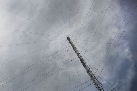





Image: European Space Agency International eLoran Standardization Workshop
What’s new:
- The European Space Agency posted about an international eLoran standardization workshop it hosted.
- At about the same time Chinese authorities pre-released a paper about integrating eLoran and Bei Dou. They found “…incorporating eLoran measurements significantly improves the robustness and availability of BDS positioning under limited satellite visibility.”
Why it is important:
- PNT sourced from multiple diverse sources is more resilient than any single source.
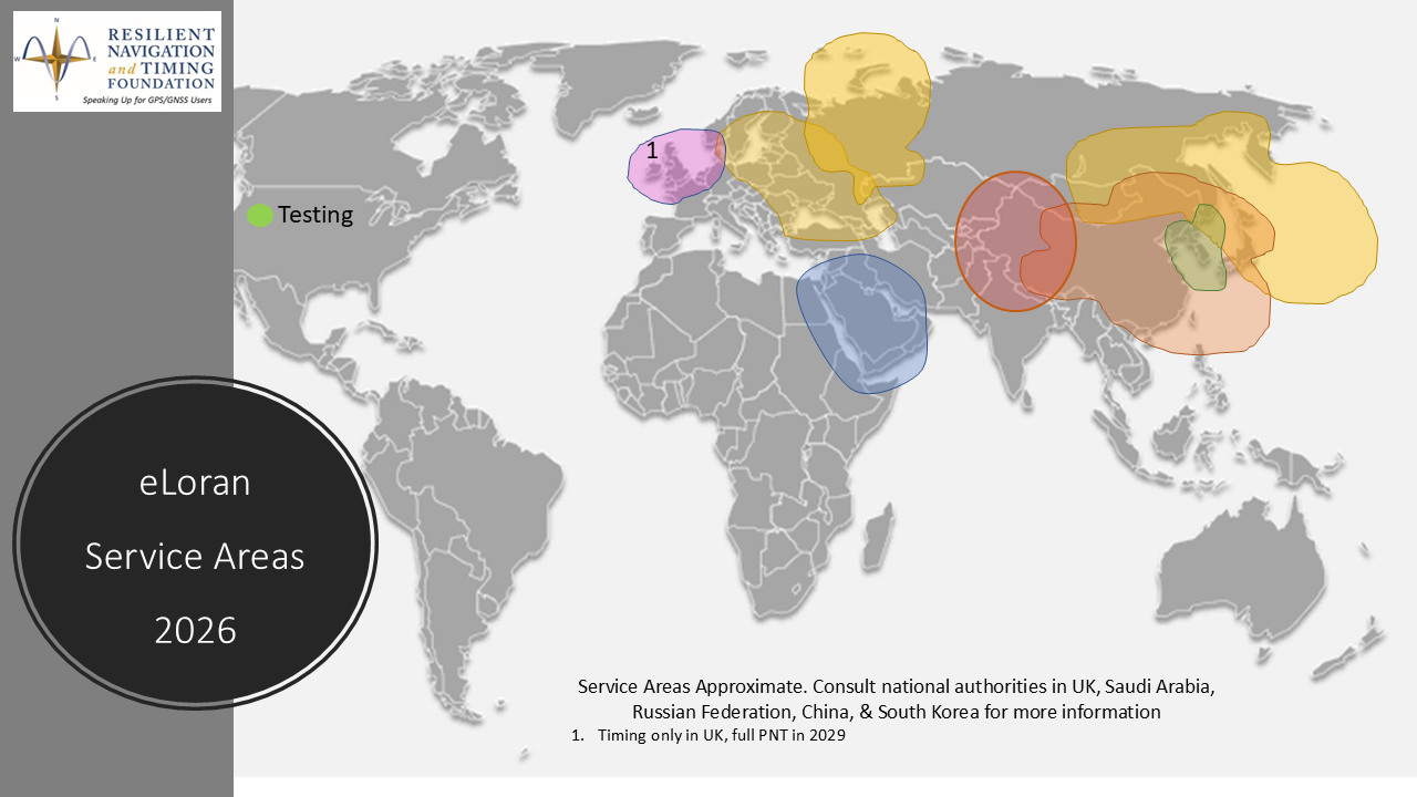
- eLoran is available in much of the northern hemisphere and is being fully implemented by the U.K. and France.
What else to know:
- The European Space Agency’s NAVISP explores all forms of PNT that can complement and augment Galileo and other GNSS.
- Simultaneous use of alterative PNT with GNSS makes the user safer and makes GNSS safer to use by de-incentivizing jammers and spoofers.
- The U.K. military is contracting for tactical/deployable eLoran and other nations are evaluating such systems.


The second International eLoran Standardisation and Implementation Conference took place last week at ESTEC, the European Space Agency – ESA‘s technical heart in the Netherlands. The workshop was co-chaired by representatives from the UK, France and the Republic of Korea.
Enhanced long range navigation (eLoran) is a terrestrial positioning system that offers resilient, low frequency signals that can be used for high-accuracy timing and positioning across safety critical sectors. It has potential as a complement or back-up for global navigation satellite systems (GNSS).
eLoran capabilities are being developed by various nations, and international coordination and cooperation is key to expanding the network and increasing the robustness and reliability of positioning, navigation and timing (PNT) for everyone.
ESA NAVISP is currently supporting UK eLoran antenna and receiver development and timing activities and is keen to support further developments across Europe.
Find out more about NAVISP and how it works with industry to develop European PNT capabilities 🔗 https://navisp.esa.int/

A BDS–eLoran fusion positioning method for resilient PNT under reduced satellite availability
Scientific Reports , Article number: (2026)
Abstract
Satellite navigation and positioning systems have become an essential component of modern infrastructure, supporting a wide range of civil and industrial applications. However, satellite-based positioning systems are vulnerable to interference, spoofing, and equipment failures, making reliance on a single system increasingly risky. To enhance system availability and continuity, the concept of resilient Positioning, Navigation, and Timing (PNT) has therefore been proposed. This paper presents a unified BDS (BeiDou Navigation Satellite System)–eLoran (enhanced Loran) fusion framework for positioning under reduced satellite observability. The framework systematically integrates BDS and eLoran measurements across different observability conditions, ranging from full satellite availability (≥ 4 satellites) to degraded scenarios with three, two, or a single satellite. Experimental results show that incorporating eLoran measurements significantly improves the robustness and availability of BDS positioning under limited satellite visibility.