



Image: Shutterstock
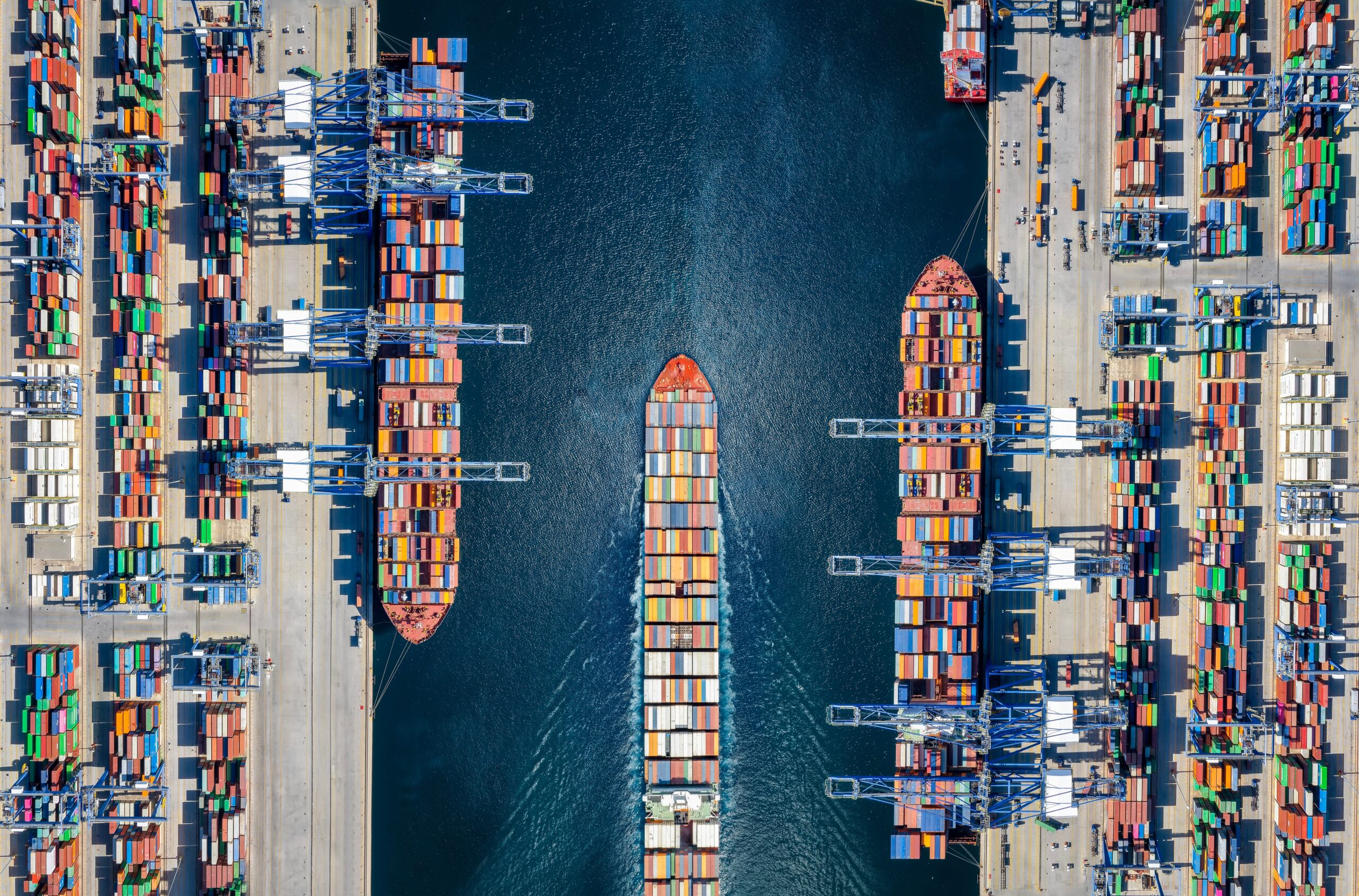
What’s new: An insightful piece from a maritime pilot on the front lines. A high demand PNT user who guides 350-meter-long ships in tight spaces through harbors designed 30 years ago for ships that were <150-meters long.
Why it’s important: We hear a lot about and from aviation pilots. This is a great complementary piece reminding us that it PNT is essential virtually everywhere.
What else to know: CAPT Shirley makes a number of excellent points. For example (emphasis added):
- “… reliance [on PNT] extends well beyond vessel movements. Stevedoring operations increasingly depend on GNSS synchronised systems for crane positioning, container tracking, scheduling, and automation. Port security, customs clearance, and border control systems rely on trusted time stamps and location data to manage access, monitor cargo, and maintain chain of custody. When positioning or timing degrades, the impact isn’t necessarily confined to a single ship or berth. It can affect the flow of trade itself.“
- Of PNT, ‘Timing is the one ring that rules them all.‘ – OK, he didn’t exactly say it that way, but it is a point he made a couple times. If we are going to address this step-wise, timing has to be the first step.

THERE’S a reason behind Australia’s biennial conference devoted to positioning, navigation and timing (PNT). Modern navigation has become more than simply knowing where you are, and I think a recent amalgamation of two professional bodies closely tied to PNT reflects that realisation.
Until recently, Australia’s navigation ecosystem was split between the Australian Institute of Navigation (AIN), grounded in operational navigation practice, and iGNSS, the country’s specialist GNSS and PNT community.
Their coming together is, I think, more than administrative, in that it signals a broader shift in navigational thinking. It is no longer charts or satellites; it is a system-of-systems built on trusted positioning, navigation, and timing.
In fact, of the three elements in that acronym, timing is the most critical. Just as the development of the marine chronometer in the late 18th century finally solved the problem of longitude, today’s positioning systems rely on extraordinarily precise measurements of time to determine location.
____
What can you do? How can you help?
PNT is the quiet backbone of everything — power, finance, transportation, defense. Too many leaders still don’t see the risk.
But you do.
You understand the systems, the dependencies, the failure chains. That insight is rare — and it’s exactly what your country needs.
So speak up.
Reach out to government leaders, industry decision‑makers, and your fellow citizens.
Show them why resilient PNT isn’t a feature — it’s the necessary foundation.
And when you get a response, tell us. Every conversation strengthens the mission.