




Image: Screen shot from social media of tanker Adalynn after collision
What’s new: Recent maritime accidents showing the impact of GPS/GNSS interference.
Why it’s important:
- While interference in aviation gets the most press, it impacts almost every other aspect of life as well to some degree.
- For maritime, the safety impact is, of course, important. Perhaps more significant is the amount of illegal maritime activity it facilitates. Drug smuggling, human trafficking, transport of sanctioned oil and stolen goods, pollution, poaching of fish and other maritime resources…
What else to know: We are the not only ones to notice this. Here is great article with lots of interesting data from Port Technology International sent in by one of our members: “GPS jamming still plagues Strait of Hormuz traffic”

GNSS Interference in Ship Collision, Fires, Grounding
Just after midnight on June 17, the 1,100 foot tanker Front Eagle, carrying approximately 2 million barrels of crude oil in the Gulf of Oman, made a quick and sharp right turn that resulted in a collision with Adalynn, a 900 foot tanker.
Both vessels caught fire. The fire aboard Front Eagle was quickly extinguished. All 24 Adalynn crew members were rescued by the UAE Coast Guard.
A video of the vessels’ Automatic Identification System (AIS) plots on X by @MaritimeTraffic shows both vessels altering course toward each other just before the collision.
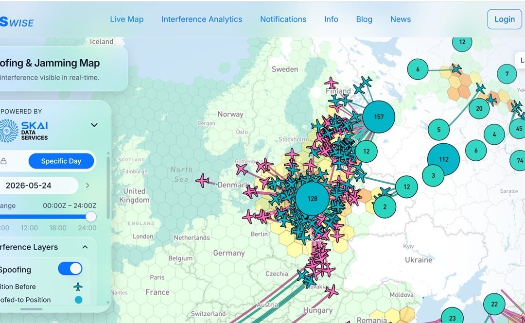
GPS navigation signals were being actively interfered with in the area at the time.
In May, GPS interference was blamed for the grounding of the 912 foot container ship MSC ANTONIA near the port of Jedda. The ship’s grounding on Eliza Shoals was determined to be the result of GPS interference by Captain Steve Bomgardner, vice president of shipping and offshore at Pole Star Global, and maritime AI specialist Windward.
Official reports from both Frontline, Plc, the owner of Front Eagle, and the Joint Maritime Information Center (JMIC) blame the collision on “navigational error.” It was described as “not security related.”
The degree to which the near constant and widespread GPS and other GNSS interference in the area played a factor has not yet been determined, though it unquestionably played a role.
Most commercial vessels have long operated with limited crew and frequently depend on autopilots, known in the trade as “Iron Mikes,” to maintain course. Before the advent of GPS, Iron Mikes were coupled to the gyroscope and course changes were made manually. With greater automation enabled by GPS, more complex routes can be navigated automatically. GPS interference could well have been an important factor in one or both of the adverse course changes that resulted in the collision.
At the same time, collisions at sea can result from what is colloquially known as “the collision waltz.” In such a situation, two vessels nearing each other both alter course in attempts to avoid each other, but their actions actually result in a collision. This can happen when inexpert, tired or disoriented crews fail to follow international navigation rules.
The Front Eagle and Adalynn collision was in the dead of night. Moving pinpoints of lights from other ships against a vast backdrop of inky black sea and sky can be difficult to interpret for even the most experienced crews. Whether it was a primary cause, faulty or nonexistent GPS information undoubtedly added to crew stress and workload.
Signals from GPS and other GNSS underlie a multitude of technologies and systems that make life safer and more efficient. When they are absent or falsified, life becomes less safe and systems much less efficient.